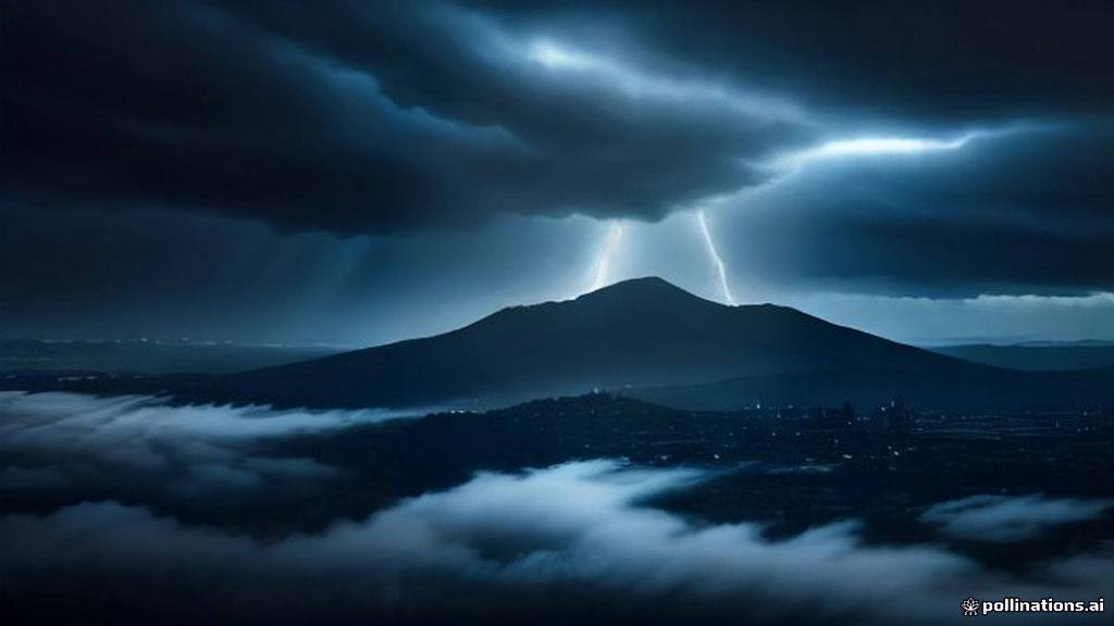
A rare and dramatic atmospheric event unfolded over the San Francisco Bay this week as a pair of waterspouts were spotted spiraling above the water, marking a startling deviation from typical West Coast weather patterns. The dual vortexes, which appeared as thin, rotating columns of mist and wind, were captured by numerous observers on social media as a powerful storm system moved across Northern California. While the sight drew awe from local residents, the National Weather Service (NWS) is treating the phenomenon with serious concern, issuing a series of warnings as the region braces for continued instability.
As residents monitor the evolving weather, the internet is buzzing with San Francisco weather updates, California storm warnings, rare Bay Area waterspouts, NWS marine alerts, West Coast atmospheric river, and Northern California flooding risks.
The Science of the San Francisco Bay Waterspouts
While waterspouts are frequently associated with the tropical waters of Florida or the volatile conditions of the Great Lakes, they are an anomaly in the San Francisco Bay. Essentially tornadoes that form over water, these vortexes occur when high-moisture air and significant atmospheric instability collide with rotating wind patterns. Experts note that while many waterspouts are classified as "fair weather" phenomena—weak and short-lived—the storm conditions currently pummeling California have created a more volatile environment. The NWS confirmed the sightings during a special marine warning, highlighting the inherent danger these systems pose to maritime traffic and coastal infrastructure should they track inland.
A Week of Severe Weather for Northern California
This incident is merely the opening act for a broader, high-impact storm system that is expected to saturate the region through the remainder of the week. The NWS has forecasted heavy rainfall, with most of the Bay Area expecting between 1.5 and 3 inches of precipitation. However, the geographic diversity of the region means some areas face more severe threats; northern counties are bracing for up to 4 inches of rain, while the Santa Cruz Mountains could see as much as 5 inches, raising immediate concerns about localized flooding and mudslides.
Wind Hazards and Coastal Threats
Beyond the rain, the atmospheric pressure gradient is driving intense wind gusts. The East Bay Hills are currently under a high wind advisory, with forecasters predicting gusts reaching up to 70 mph. These winds, combined with elevated tide levels, have triggered a coastal flood advisory that will remain in effect through Thursday morning. Authorities are urging boaters to exercise extreme caution and for coastal residents to prepare for potential property damage caused by high winds and storm surges.
The Impact of Super El Niño on California’s Winter
Climate experts are pointing to the influence of a Super El Niño as the primary driver behind this winter’s aggressive start. This cyclical warming of the Pacific Ocean is known to shift the jet stream, often steering a relentless parade of storms toward the California coast. This season is expected to be significantly wetter than historical averages, potentially leading to a persistent cycle of flooding and storm-related damage across the state as we move deeper into November and December.
- Dual Waterspouts: Two distinct vortexes were confirmed over the San Francisco Bay, a rare occurrence for the region.
- Storm Accumulation: Rainfall totals are projected to reach up to 5 inches in mountainous areas, creating a high risk for flash flooding.
- Travel Disruptions: The Sierra Nevadas are braced for up to 4 feet of snow, making mountain pass transit dangerous or impossible.
- High Wind Warnings: Sustained gusts of 70 mph are expected in the East Bay Hills, threatening power grids and infrastructure.
- El Niño Influence: The current Super El Niño pattern is the catalyst for this intensified series of storms affecting the West Coast.
Frequently Asked Questions
Are the waterspouts seen in San Francisco considered dangerous?
Yes, while some waterspouts are weak, they are classified as tornadoes and pose a significant threat to boaters and coastal structures. If they move onto land, they can cause damage similar to a small land-based tornado.
Why is California seeing so much rain this November?
California is currently influenced by a strong Super El Niño event, which shifts the jet stream to bring more frequent and powerful storm systems to the West Coast. This results in higher-than-average precipitation and increased storm activity throughout the winter season.
When will the current storm system in the Bay Area subside?
According to the National Weather Service, the most severe weather is expected to last through Thursday. While showers may begin to taper off by Thursday evening, moisture is expected to linger over the Pacific and adjacent inland communities into the weekend.