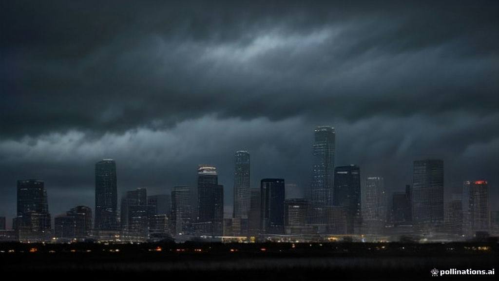
Residents across North Texas woke up to wet roads and a sharp drop in temperatures this weekend, as the Dallas weather forecast points to persistent showers, isolated thunderstorms, and unusually chilly conditions for late autumn. According to meteorologists at the National Weather Service forecast office in Fort Worth, the bulk of the heavy precipitation pushed through the region overnight. However, lingering moisture continues to affect the Metroplex, bringing gusty winds and a dramatic shift from the milder weather patterns seen earlier in the week.
As local residents look for updates on today's conditions, trending search queries on mobile devices include Dallas weather radar today, Fort Worth hourly weather, Texas weekend storms, and Dallas temperature drop. These real-time searches reflect widespread public interest in how the shifting atmospheric pressure systems will impact Sunday plans, local traffic safety, and outdoor events across Dallas-Fort Worth.
Understanding the Sunday Storm System
The active weather front moving across Texas has brought much-needed moisture, though it has also created slick driving conditions on major interstate corridors including I-35E, I-30, and I-45. Forecasters indicate that the steadier rain will taper off completely by mid-afternoon, around 3 p.m. However, the system is packing an atmospheric punch in the form of brisk winds, with gusts reaching up to 25 miles per hour across open stretches of the North Texas plains.
Rainfall totals are generally ranging between 0.5 to 1.5 inches across most neighborhoods in Dallas County and surrounding areas. Isolated pockets could experience slightly higher accumulations, potentially approaching 2 inches where stronger thunderstorm cells managed to stall overnight. A lingering 30% chance of isolated showers remains in place for Sunday evening as the system finally begins its exit to the east.
A Chilly Contrast to Normal Texas Climates
Unlike the warm, sun-drenched afternoons that Texans are accustomed to, Sunday's temperatures are remaining locked in the upper 40s. High temperatures across Dallas are struggling to reach just 48 degrees, accompanied by grey skies and damp breezes. By nightfall, thermometers are expected to dip slightly further, bottoming out near a cool 45 degrees.
- Morning Showers: Primary heavy rainfall occurred overnight, but lingering dampness persists through the early afternoon hours.
- Wind Advisory: Gusts reaching up to 25 mph are creating a biting windchill across the Dallas-Fort Worth metropolitan area.
- Precipitation Totals: Most communities are recording between half an inch to 1.5 inches of rain.
- Temperature Plunge: Sunday highs are capping out at a chilly 48 degrees before falling to 45 degrees overnight.
- Mid-Week Rebound: Stabilizing atmospheric pressure will rapidly push regional temperatures back into the mid-60s and low 70s by Wednesday.
Economic and Daily Life Impacts in North Texas
Abrupt temperature swings and sudden heavy rainfall events carry significant implications for local infrastructure, commuting patterns, and outdoor commercial sectors in the Dallas-Fort Worth metro area. City public works departments routinely monitor low-water crossings during sudden downpours, while local utility providers stay on high alert for wind-driven tree branches interfering with power distribution lines.
Furthermore, agricultural producers across North Texas closely watch these frontal passages. While sudden heavy rains can occasionally cause minor soil erosion in freshly tilled fields, the moisture injection is vital for replenishing topsoil hydration ahead of winter crop cycles. For urban commuters, the sudden transition from dry pavement to slick roadways serves as a sharp reminder for drivers to adjust speeds and maintain safe following distances.
Looking Ahead: A Rapid Mid-Week Warmup
Fortunately for outdoor enthusiasts and commuters alike, this wintry snap will be short-lived. According to localized forecasts from regional meteorologists, high pressure is building back over the Lone Star State, promising a steady and noticeable warming trend beginning Monday.
Monday will start with spotty morning drizzle and cloudy skies, holding high temperatures near 55 degrees. By Tuesday, partly sunny skies return with a comfortable high of 62 degrees. The warming trend accelerates midweek, with pleasant conditions pushing thermometers to 66 degrees on Wednesday and reaching a warm, spring-like 70 degrees by Thursday, accompanied by only minor, isolated chances of late-week showers.
Frequently Asked Questions
What is the high temperature expected in Dallas today?
Sunday's high temperature in Dallas is expected to struggle, topping out at a chilly 48 degrees under overcast skies and brisk winds.
When will the rain and thunderstorms stop in Dallas?
According to the National Weather Service, steady rain and thunderstorm activity will taper off by approximately 3 p.m. on Sunday, though a slight 30% chance of evening showers remains.
Will North Texas warm up later in the week?
Yes, temperatures are projected to rebound rapidly, climbing into the mid-60s by Wednesday and reaching the low 70s by Thursday and Friday.