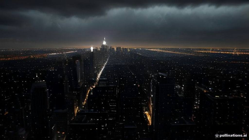
Residents across the New York City metropolitan area are waking up to the most severe and wintry conditions of the season so far, as a powerful weather system brings relentless wind, soaking rain, and even the first accumulating snow to higher elevations north and west of the city. According to the latest AccuWeather alerts issued for New York, New Jersey, and Connecticut, Friday is shaping up to be a bitterly raw day. Meteorologists warn that the combination of plunging temperatures and powerful, gusty winds will make the Tri-State area feel more like mid-winter than mid-autumn.
As millions of commuters check their devices, trending search queries dominating digital platforms include NYC weather forecast, AccuWeather alert New York, Tri-State snow accumulation, and Friday rain and wind advisory. These rising search volumes reflect widespread public concern over slick roadways, transit delays, and the abrupt transition from mild autumn conditions to near-freezing temperatures.
Heavy Rain, Flash Flooding, and Gusty Winds
The storm system made its presence felt early, dumping significant rainfall across the five boroughs and surrounding suburbs. Doppler radar estimates indicate that parts of Brooklyn and southeastern Queens absorbed between 3 and 4 inches of rain by early evening, overwhelming local drainage systems and triggering flash flood warnings in vulnerable zones, including parts of the Jersey Shore near Toms River. Heavy downpours featuring localized rates of 1 to 2 inches per hour swept through neighborhoods like Bay Ridge, Bensonhurst, and Flatbush.
Simultaneously, a potent northeast wind has taken hold, driving temperatures down toward the low 40s overnight. The biting wind is expected to persist throughout Friday, keeping wind chill values firmly locked in the 30s all day long, even as daytime highs struggle to reach the low 40s.
The Rain-Snow Line Moves In
While New York City and its immediate urban core are primarily dealing with a cold, driving rain—with perhaps a stray snowflake or two mixing in across northern sections of the Bronx—the narrative is entirely different just a short drive away.
- First Snowfall: Higher elevations in the Catskills and Poconos are experiencing a definitive shift, with rain mixing with and changing over to wet snow.
- Accumulation Totals: Mountainous regions like the Catskills are projected to receive 1 to 3 inches of snow accumulation, creating hazardous driving conditions.
- Suburban Impact: Areas immediately north and west of the city face a dual threat of lingering rainfall and patchy coatings on colder surfaces.
- Commuter Safety: Authorities urge caution during the morning commute, noting that while major highways should remain mostly wet due to ground temperatures, elevated surfaces and rural routes could develop slick spots.
- Weekend Outlook: Saturday and Sunday will remain blustery and unseasonably cold, featuring daytime highs in the mid-to-upper 40s alongside biting wind gusts.
Economic and Daily Life Disruptions
Abrupt seasonal shifts of this magnitude frequently cause ripples across regional infrastructure. Public transit authorities have increased monitoring for weather-related delays on commuter rails, while local school districts in affected suburban counties are keeping a close eye on early-morning precipitation lines. Retailers and outdoor venues across the metropolitan area are quickly adjusting to the sudden drop in foot traffic as residents retreat indoors to escape the raw elements.
What to Watch Next in Tri-State Weather
Looking ahead, meteorologists indicate that this blast of wintry air is a temporary, albeit dramatic, visit from the season ahead. Following a brisk and bright weekend featuring highs in the upper 40s to near 50, a gradual moderation trend will take shape. Temperatures are expected to climb steadily early next week, eventually approaching a much more comfortable 60 degrees by Wednesday and Thursday under plenty of sunshine. Residents are advised to keep their winter coats handy for the next 48 hours before milder autumn air returns.
Frequently Asked Questions
Is it snowing in New York City today?
No accumulating snow is expected within New York City proper, though a stray wet flake could mix in with the rain across northern neighborhoods like the Bronx before the precipitation tapers off.
How cold will it feel in NYC during this weather alert?
While actual temperatures will hover around 40 to 45 degrees, strong and gusty northeast winds will make outdoor conditions feel firmly entrenched in the 30s throughout the day.
When will temperatures return to normal?
After a cold, blustery weekend with highs in the mid-to-upper 40s, temperatures will begin a steady recovery, reaching the upper 50s and low 60s by the middle of next week.